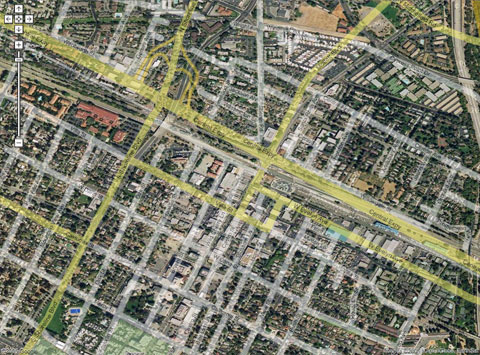
It’s interesting how the Google satellite pictures differ ever so slightly from the Google map.
In particular, notice how the NW-to-SE roads are skewed about 5 degrees clockwise from true while the NE-to-SW roads are skewed about 5 degrees counterclockwise from true. (Click on the image for higher-resolution.)
On second thought, it could be that the map is correct and the satellite images are skewed to locally fit the Google perspective. Maybe the map is the territory after all!
